
Researchers to use satellite data to measure forest carbon changes
The effort will receive $500,000 in grant funding for the 3-year study

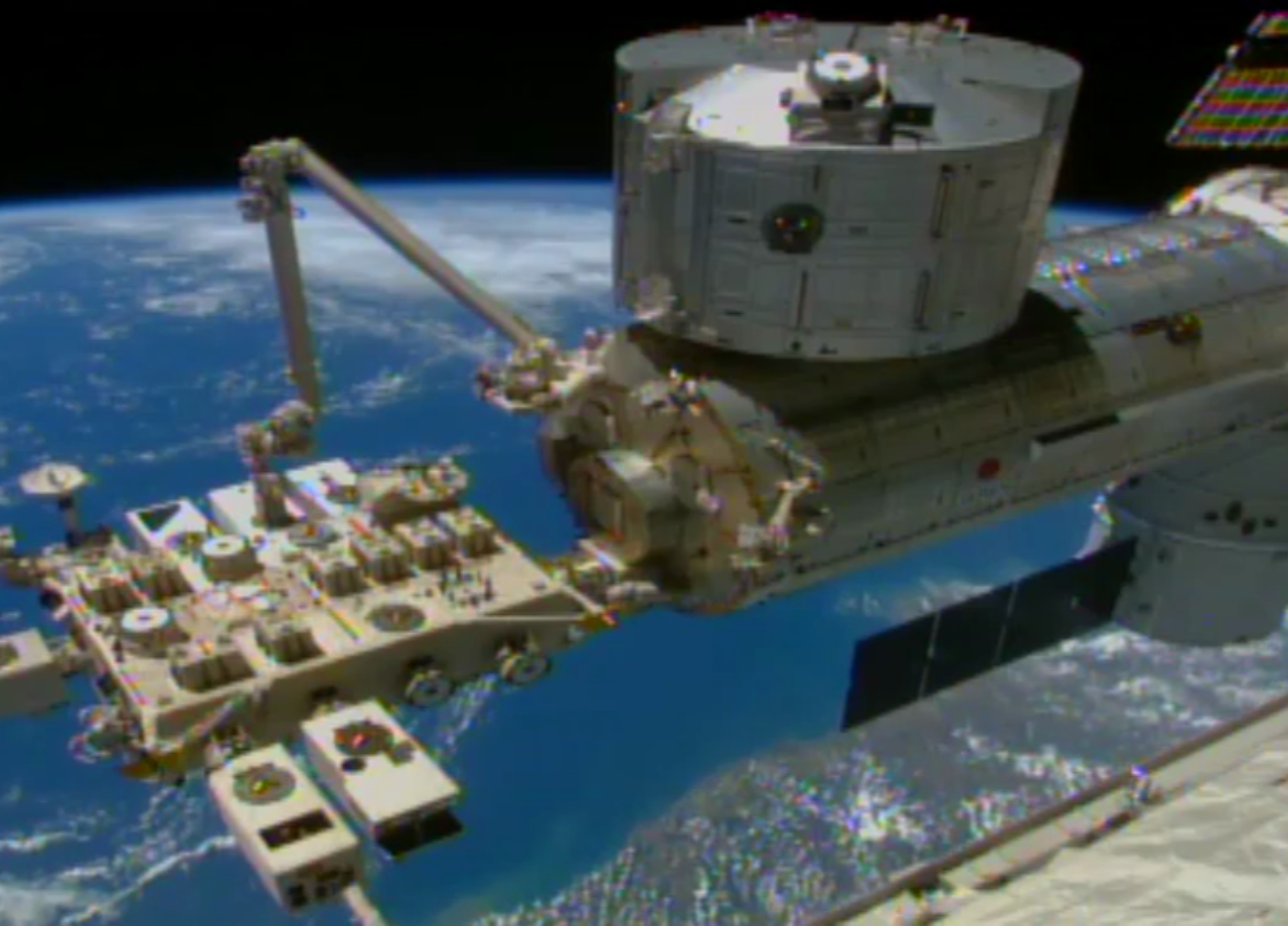
MADISON, Wis. -- Researchers from three university forestry schools will be using Lidar data provided by NASA from the International Space Station to develop and test methods for mapping carbon and biological changes in large chunks of forests.
The three-year mission will join researchers from forestry and natural resources departments at the University of Maine, Michigan State University and the University of Minnesota, using $500,000 of grant funding to carry out the research.
They have named the project FORCE --- (FORest Carbon Estmation project), according to Daniel Hayes, director of the Wheatland Geospatial Laboratory at the University of Maine.
Recently announced new trial carbon credit offset programs from The Nature Conservancy, American Forest Foundation, and American Forests are looking at distance imaging to audit and monitor carbon sequestration as they develop programs that will be feasible to use on forest parcels of 80 acres or less. Until this year there have been very few carbon projects on forest parcels of less 5,000 acres.
The NASA GEDI (Global Ecosystem Dynamics Investigation) system released its first data from the International Space Station in January. (The International Space Station orbits at 254 miles while low earth orbit satellites circle the earth at 1,200 miles, allowing the space station devices to capture more precise data.)
GEDI scientists used the laser data gathered to compile 3-D maps of the forest canopy.
“By accurately measuring forests in 3D, GEDI data play an important role in understanding how much biomass and carbon forests store and how much they lose when disturbed — vital information for understanding Earth’s carbon cycle and how it is changing,” according to a NASA statement announcing the mapping work.
They cautioned that the first map is a prototype that contains some distortions that will be corrected as the software is refined.